Ride Large

Mexico on a Postcard
-
Total Time: 6-7 hrs
-
Total Distance: 156 miles (251 km)
-
Total time on two wheels: 6hrs
The Route
Day 1
-
Distance: 156 miles (251 km)
-
Time on two wheels: 6 hrs
The Directions
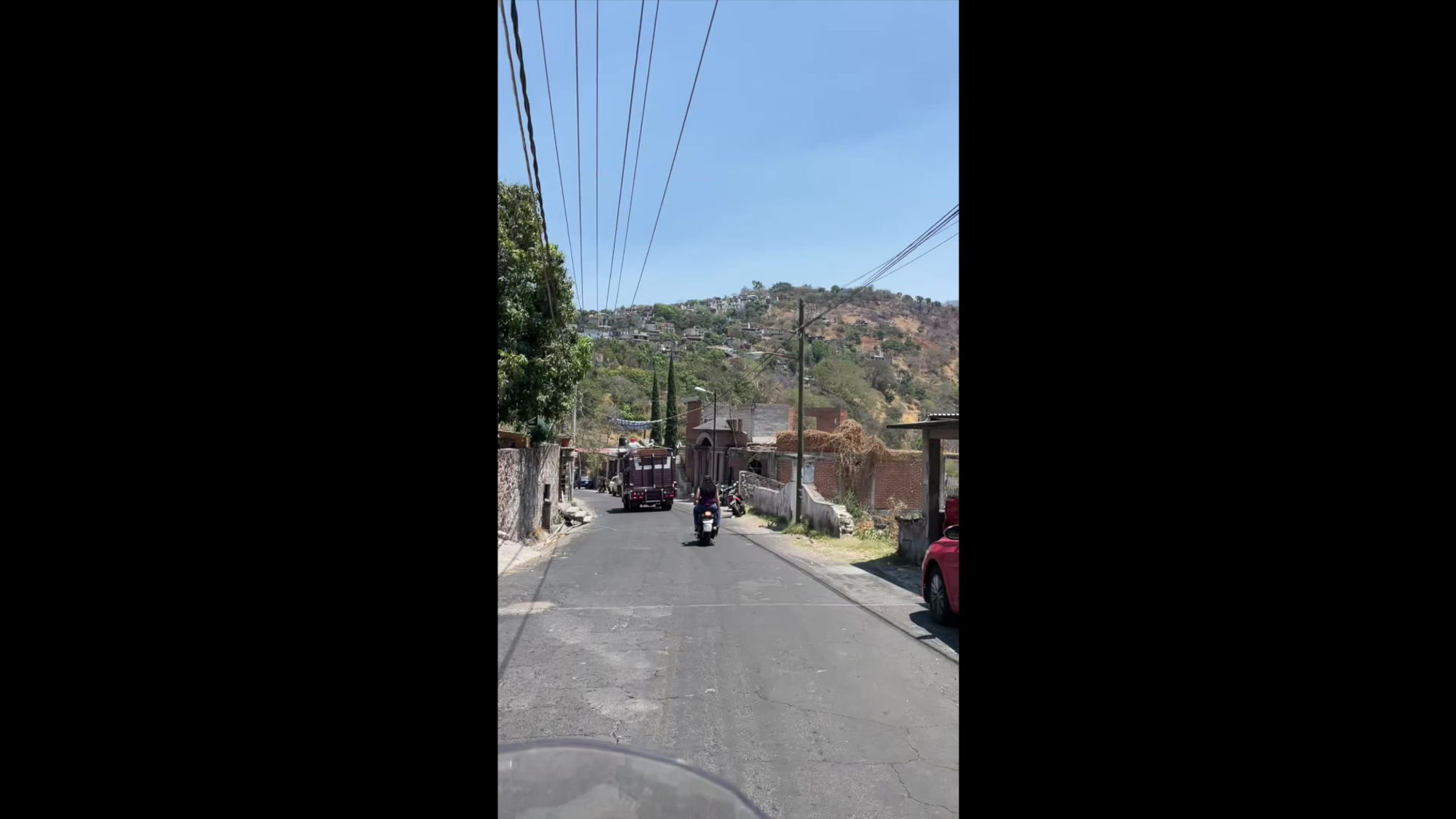
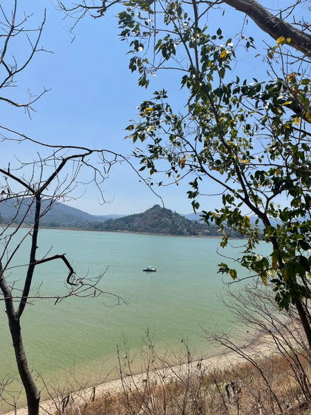
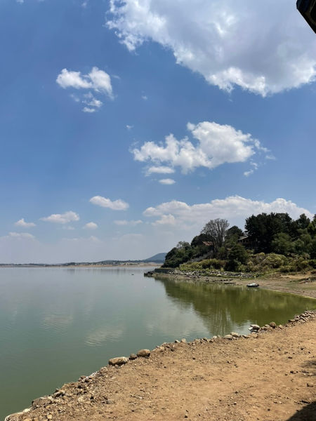
Ride out of Valle de Bravo counter-clockwise around the lake — You cannot ride clock wise around the lake on this route, as the road is closed
Snake your way along the main road through Santo Tomas, San Pedro Tenayac, and Cuadrilla de Dolores
Pass back through Avandaro and take the road north to Villa Victoria
Ride around Villa Victoria and
The Road
Mostly good pavement with some potholes
The Weather
I have ridden this route once and had good weather the entire time — I have ridden through this part of the country during rain storms several times and it gets cold
The Elevation
Start around 5900 ft and remain ~6000 ft for the first half — climb with ~8500 ft during the second half
Where to Eat
I generally fast during rides, so have not eaten on this route
The Scenery
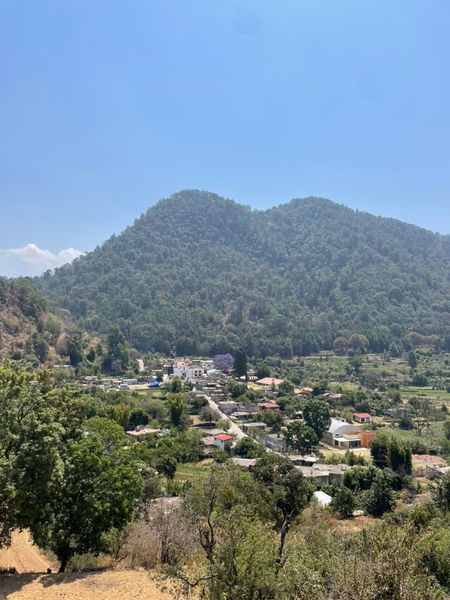
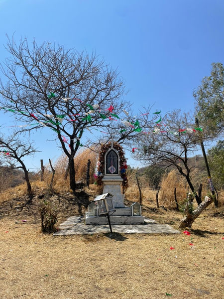
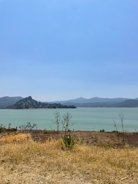
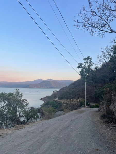
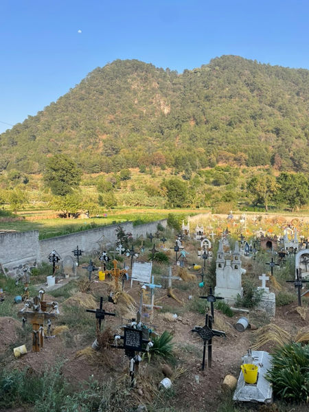
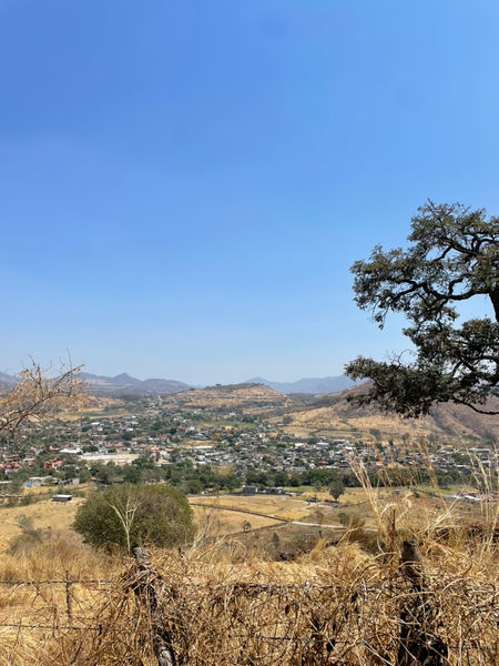
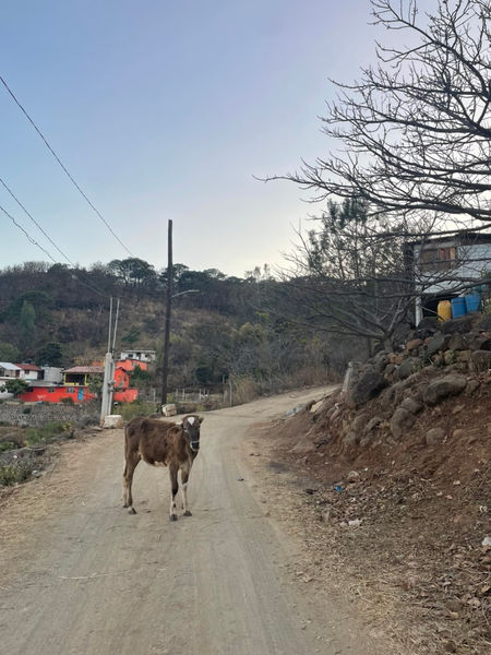
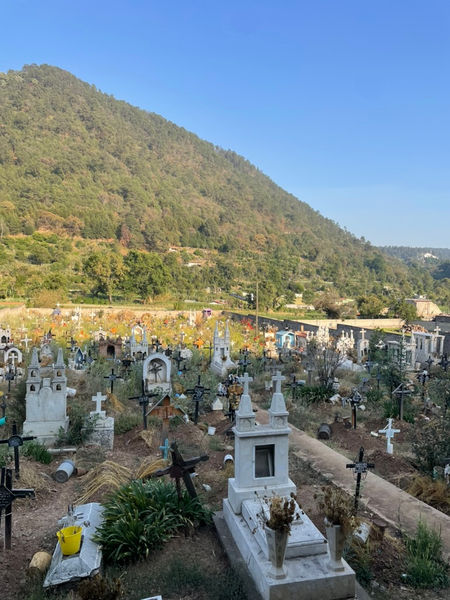
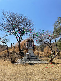
The initial loop south of Valle de Bravo looks like if Mars, Utah and Mexico had a baby — Cacti, high desert buttes, churches, small towns — This is Mexico from the storybooks


